Posts filed under tag: tidygeocoder
-
Tidygeocoder 1.0.4

Tidygeocoder v1.0.4 is released! 🍾 This release adds support for the Geoapify geocoding service (thanks Daniel Possenriede!), a progress bar, more helpful console output, and new functions for combining the results of multiple geocoding queries. A more detailed overview of the changes in this release is available in the changelog.
-
Tidygeocoder 1.0.3

Tidygeocoder v1.0.3 is released on CRAN! This release adds support for reverse geocoding (geocoding geographic coordinates) and 7 new geocoder services: OpenCage, HERE, Mapbox, MapQuest, TomTom, Bing, and ArcGIS. Refer to the geocoder services page for information on all the supported geocoder services.
-
Tidygeocoder 1.0.2

Tidygeocoder v1.0.2 “Yodeling Yak” is now on CRAN. This release adds support for the popular Google geocoder service (thanks @chris31415926535) and also includes several bugfixes and enhancements. Refer to the changelog for details on the release and to the tidygeocoder homepage for a comparison of all supported geocoder services.
-
Introducing Tidygeocoder 1.0.0

Tidygeocoder v1.0.0 is now live on CRAN. There are numerous new features and improvements such as batch geocoding (submitting multiple addresses per query), returning full results from geocoder services (not just latitude and longitude), address component arguments (city, country, etc.), query customization, and reduced package dependencies.
-
Geocoding with Tidygeocoder

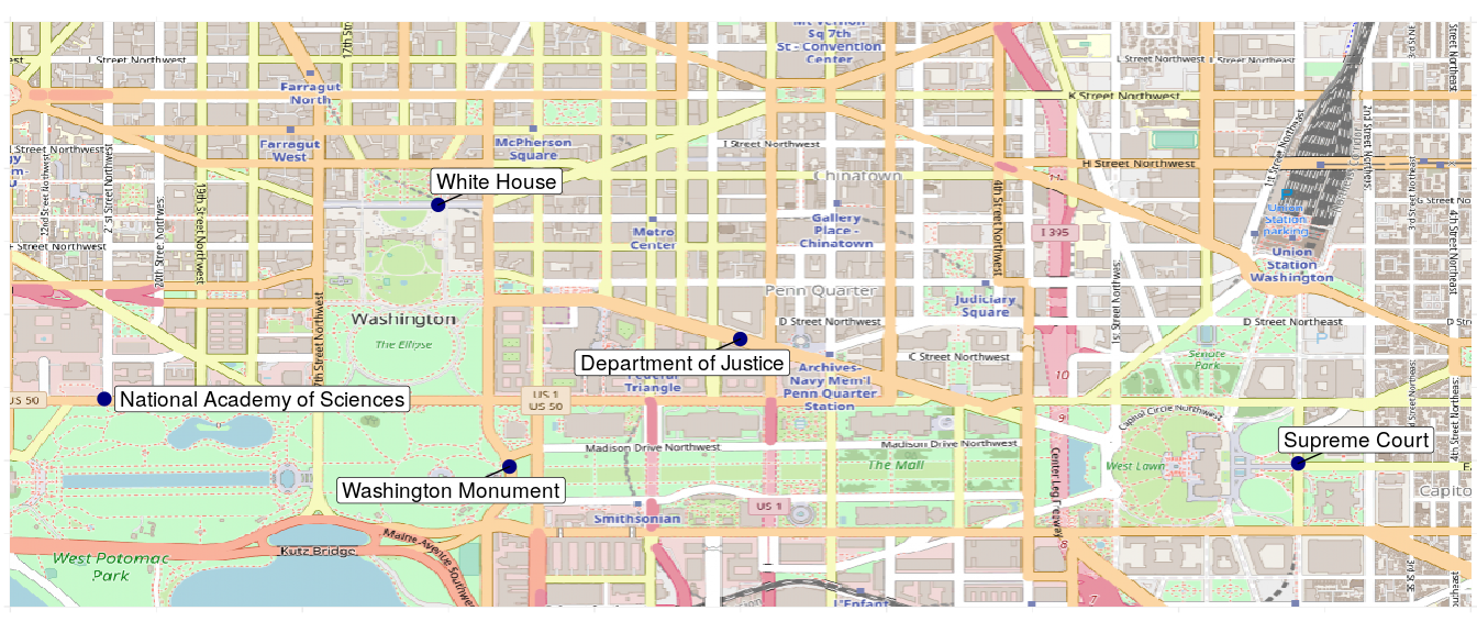
Tidygeocoder is a newly published R package which provides a tidyverse-style interface for geocoding. It returns latitude and longitude coordinates in tibble format from addresses using the US Census or Nominatim (OSM) geocoder services. In this post I will demonstrate how to use it for plotting a few Washington, DC landmarks on a map in honor of the recent Washington Nationals World Series win.
Browse Posts by Tag
r tidygeocoder